ONE GIS STUDY BASED ON
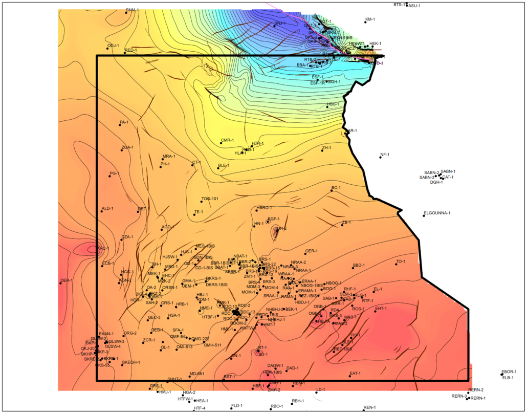
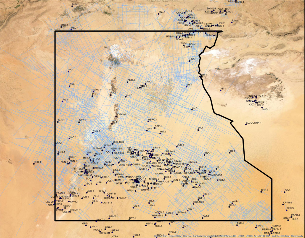
350 Wells
Including 1500 m of core description, 8 wells with geochemical analyses & petrophysical evaluation for 85 wells
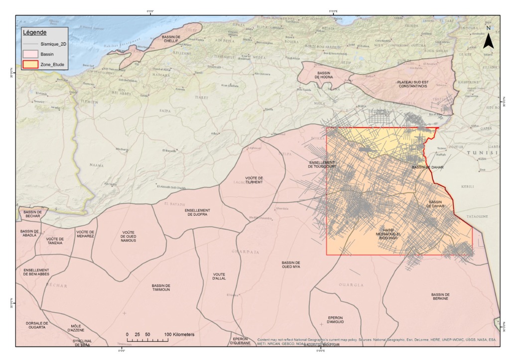
58 000 km
2D seismic
1 200 km
Inverted 2D seismic lines
4 500 km
Reprocessed 2D seismic lines
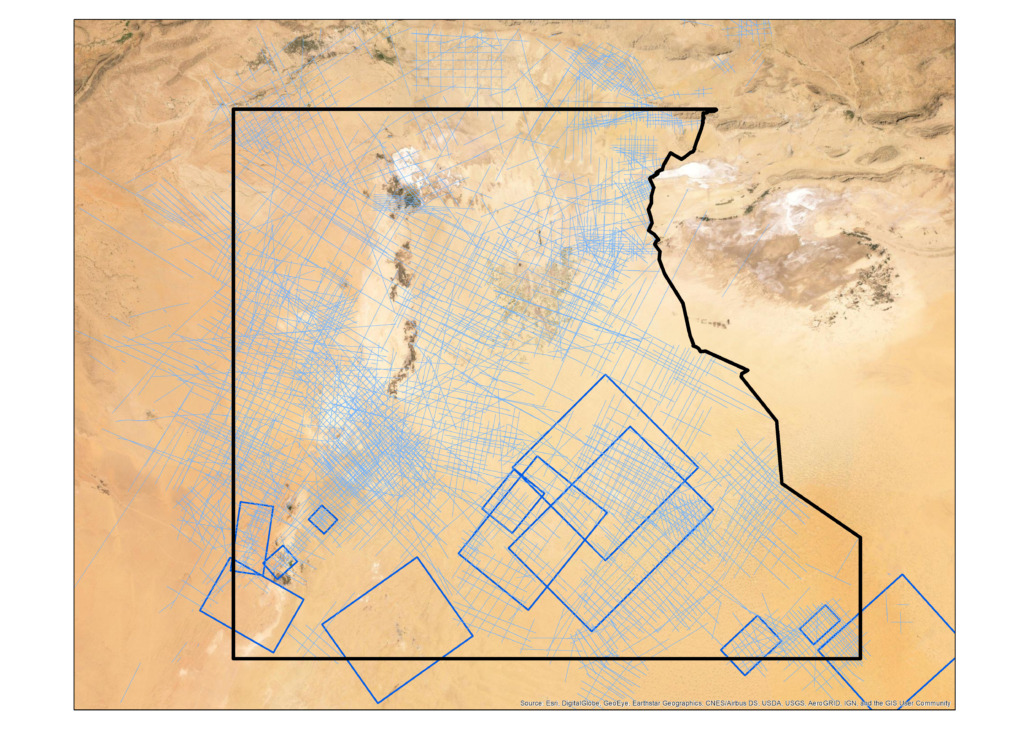
20 000 km²
11 blocks 3D
DELIVERED WITH
21
GDE maps
20
Results from petroleum system modeling
A follow-up phase of this project is under consideration to include the North Oued Mya region
35
Exploration risk maps


